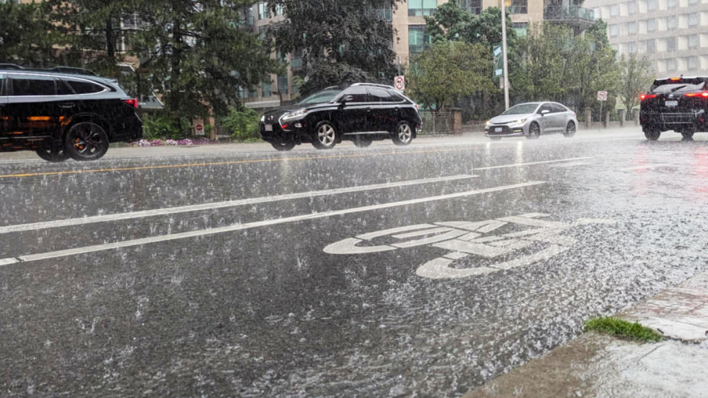
Toronto and much of southern Ontario is under a rainfall warning, with up to 40 millimetres of rain possible by Sunday night.
The weather alert was issued for the city and much of the GTHA around 5 p.m. on Saturday, calling for localized floods in low-lying areas.
Environment Canada says the frozen ground has a reduced ability to absorb this rainfall.
“A low-pressure system will bring rain, at times heavy, to the region today. Light showers may linger into Monday; however, the majority of rainfall will fall through the day today,” Environment Canada writes.
Similar rainfall warnings are in place for Mississauga, Brampton, Vaughan, Burlington, Oakville, Halton Hills and Hamilton, among other local regions.
There are also fog advisories in certain areas, including Toronto, as Environment Canada warns of near-zero visibility.
“Patchy dense fog has developed and will persist into the morning hours.”
Showers will become lighter overnight into Monday, and temperatures are forecasted to stay around 10 C to start the new week. However, the day will gradually become colder, reaching -2 by Monday afternoon.
The average daytime high for Toronto around this time of the year is 1 C.